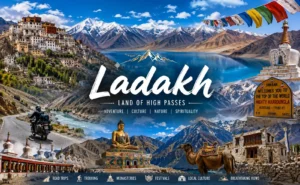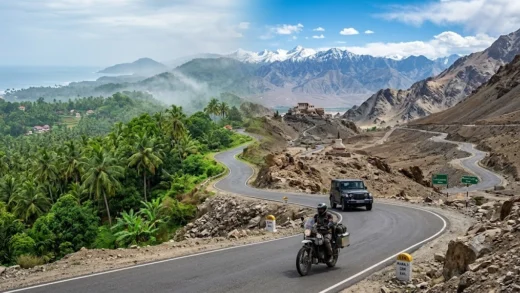

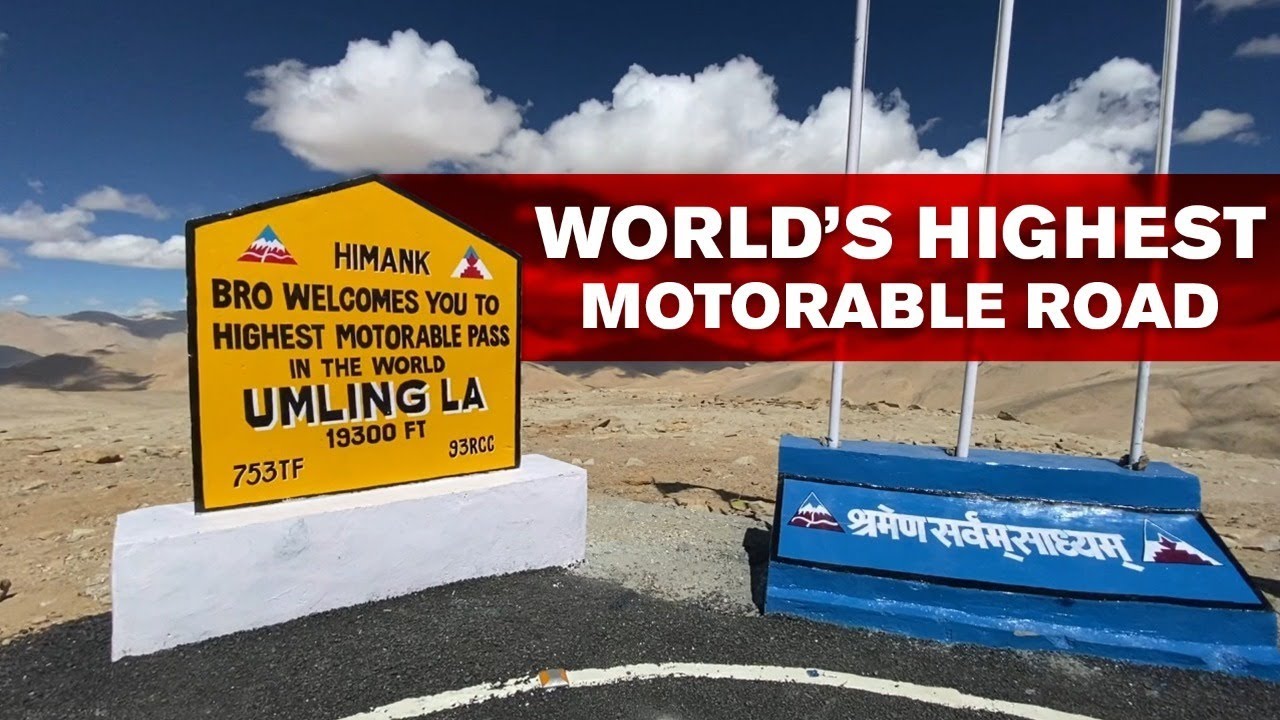
Reaching Umling La, the world’s highest motorable road, is an adventure in itself. Located in the remote Changthang region of Ladakh, Umling La can be accessed through multiple routes, each offering a different driving experience. Some roads are shorter but more challenging, while others are longer with better road conditions and stronger military presence.
| Route | Distance | Route | Highlights |
|---|---|---|---|
| Route 1 | 88 km | Hanle → Punguk → Ukdungle → Nurbu La → Chisumle Bridge → Umling La | Stable road conditions, gradual climb, ideal for first-time visitors. |
| Route 2 | 72 km | Hanle → Bogge/Zursur → Nurbu La Top → Chisumle Bridge → Umling La | Most popular route, shorter distance, wider roads, fewer water crossings. |
| Route 3 | 62 km | Hanle → Bogge → Beyond Nurbu La Top → Chisumle Bridge → Umling La | Shortest but most challenging route with rough terrain; suitable for experienced off-road drivers. |
| Route 4 | 75 km | Hanle → Photi La → Photile → Chisumle → Chisumle Bridge → Umling La | Scenic drive via Photi La, but prone to landslides and loose rocks. |
| Route 5 | 116 km | Loma Bridge → Dungti → Fukche → Koyul → Lekeng Yok → Chisumle → Chisumle Bridge → Umling La | Wider roads and strong military presence; multiple security checkpoints. |
| Route 6 | 129 km | Loma Bridge → Dungti → Fukche → Koyul → Demchok → Umling La | Longest and most restricted route requiring special permissions near the border. |
Before starting your journey, ensure you have all the required permits, a well-maintained vehicle, sufficient fuel, drinking water, snacks, and warm clothing. Mobile connectivity is almost non-existent on most routes, so travel with caution and inform someone about your itinerary.
Route 1: Hanle – Punguk – Ukdungle – Nurbu La – Chisumle Bridge – Umling La (88 km)
This is considered one of the most reliable routes to Umling La. The road is generally wider, with gradual inclines that make driving more comfortable. Ukdungle has an Indian Army presence, providing a sense of security, although there are no fuel stations or food outlets. It is an excellent option for travellers planning a day trip from Hanle.

 -0°C
-0°C
- Temperature
- Rain Chance
- Wind


Route 2: Hanle – Bogge/Zursur – Nurbu La Top – Chisumle Bridge – Umling La (72 km)
One of the shortest and most frequently used routes, this road offers relatively good driving conditions with fewer water crossings and less dust. However, once you pass Zursur, weather conditions can change rapidly. There are no civilian facilities along the way, so carry all essential supplies before leaving Hanle.
Route 3: Hanle – Bogge – Beyond Nurbu La Top – Chisumle Bridge – Umling La (62 km)
This is the shortest route to Umling La but also the most demanding. The terrain is rough, exposed, and includes deep gravel sections. Snow or rain can make the road hazardous. With no signboards, fuel stations, or mobile network, this route is recommended only for experienced off-road drivers, preferably travelling in a convoy.
Route 4: Hanle – Photi La – Photile – Chisumle – Chisumle Bridge – Umling La (75 km)
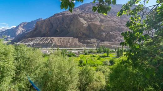
Travellers looking for breathtaking landscapes will enjoy this route. The drive across Photi La showcases Ladakh’s spectacular high-altitude desert scenery. However, landslides and loose rocks are common, especially after Photile. Always check the latest weather and road conditions before choosing this route.
Route 5: Loma Bridge – Dungti – Fukche – Koyul – Lekeng Yok – Chisumle – Chisumle Bridge – Umling La (116 km)
Although longer than the Hanle routes, this option offers comparatively wider roads and fewer sharp bends. Multiple Indian Army checkpoints provide additional assistance if required, though document verification may increase travel time. Small villages like Koyul and Lekeng Yok have limited facilities, so do not rely on them for fuel or vehicle repairs.
Route 6: Loma Bridge – Dungti – Fukche – Koyul – Demchok – Umling La (129 km)
This is the longest and most restricted approach to Umling La. Passing through the sensitive Demchok sector near the India–China border, the route often requires special permissions, and access may change depending on security conditions. Due to its remote location and operational restrictions, it is best suited for organised expeditions or travellers with official approvals.
Which Route Should You Choose?
For most visitors, Route 2 offers the best balance of distance and road quality, making it the preferred choice from Hanle. If you prioritise stable driving conditions, Route 1 is an excellent alternative. Adventure enthusiasts with off-roading experience may enjoy Route 3, while photographers and nature lovers will appreciate the stunning scenery along Route 4. Travellers approaching from the Loma side can consider Route 5, whereas Route 6 should only be attempted with the necessary permissions and careful planning.
No matter which route you choose, remember that Umling La sits at an extreme altitude of over 5,800 metres (19,000+ feet). Acclimatise properly, drive responsibly, monitor the weather, and carry emergency supplies to ensure a safe and unforgettable journey.