
Kerey (also spelled Kyari or Keray) is a remote, high-altitude village located in the Nyoma tehsil of the Changthang district in Ladakh.
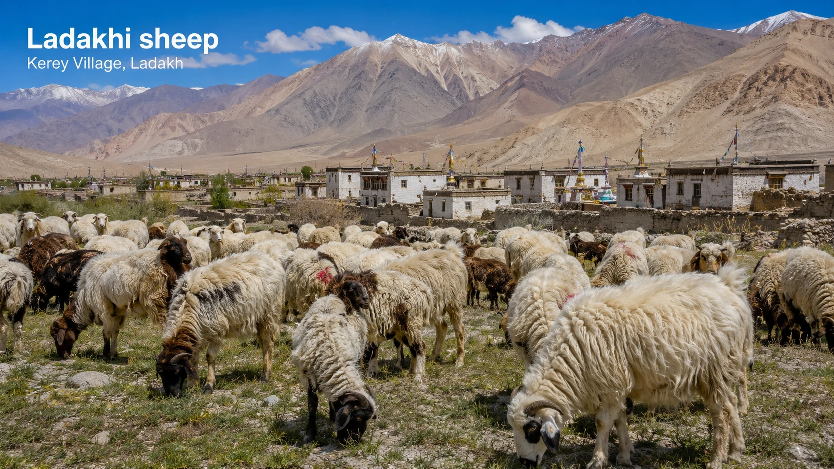
Kerey Village
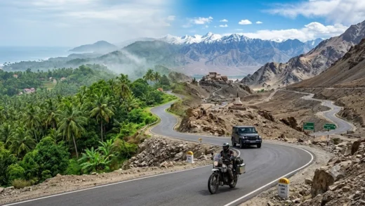
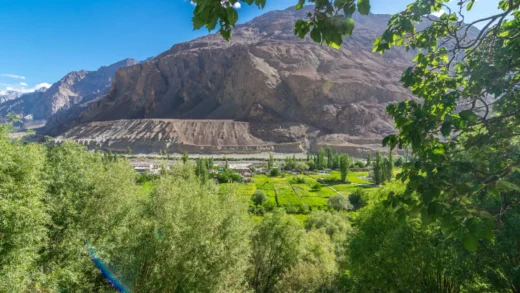
Kerey is a remote high-altitude village offering stark landscapes and minimal habitation. It provides a raw and isolated Ladakhi experience suited for offbeat exploration. In villages like Kerey, sheep and goats are traditionally an important part of local livelihoods.
| Village Name | Kerey |
| District | Leh Ladakh |
| Sub-Division | Nyoma |
| Block | Rong-Chumathang |
| Ethnic People | Ladakhi |
| Estimated Population | ~290 residents |
| Population (Approx) | 200–500 |
| Elevation | 5,488 meters (18,005 feet) |
Kerey: A remote Changthang village offering vast open landscapes and isolation. The village is known for its traditional Ladakhi sheep wool products.

 2°C
2°C
- Temperature
- Rain Chance
- Wind


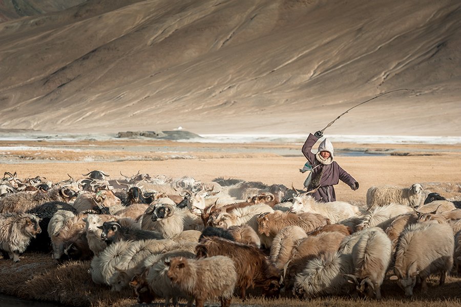
Landscape & Environment
Leh is the largest district in the country in terms of area. It is one of the coldest and most elevated inhabited region of the world having 112 inhabited and 1 uninhabited villages.
| Distance from Leh | ~150 km |
| Scenic Landscape & Environment | High-altitude plains and rugged mountains |
| Culture & Lifestyle | Nomadic-influenced lifestyle |
Things To Do
Offbeat exploration, photography
Things To Exprience
Offbeat exploration, photography
Travel Tips
Carry essentials
Best Time to Visit
Best Time to Visit Kerey Village: May–September
Near By Places
| Nearest Airport | Kushok Bakula Rimpochee Airport |
| Nearest Bus Station / Stop | Nyoma Bus Stop |
| Nearest Hospital / Clinic | CHC Nyoma |
| Nearest Fuel Station | Indian Oil Petrol Pump Nyoma |
Discover the timeless charm of Ladakh by exploring Kerey village, where tradition, landscapes, and culture come together to offer an authentic and enriching travel experience.
What is the altitude of Kiari Ladakh?
The altitude of the district varies from 1,550 ft (470 m) to 3,820 ft (1,160 m) above sea level with an average elevation of 2215 feet (675 m).