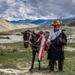
Chang La is one of the highest motorable mountain passes in the world, standing tall in the dramatic landscape of Ladakh, India. Situated at an altitude of around 5,360 meters (17,590 ft), it serves as a crucial gateway between Leh and the breathtaking Pangong Lake region. The pass is not just a road but a high-altitude adventure that defines the raw beauty of Ladakh.
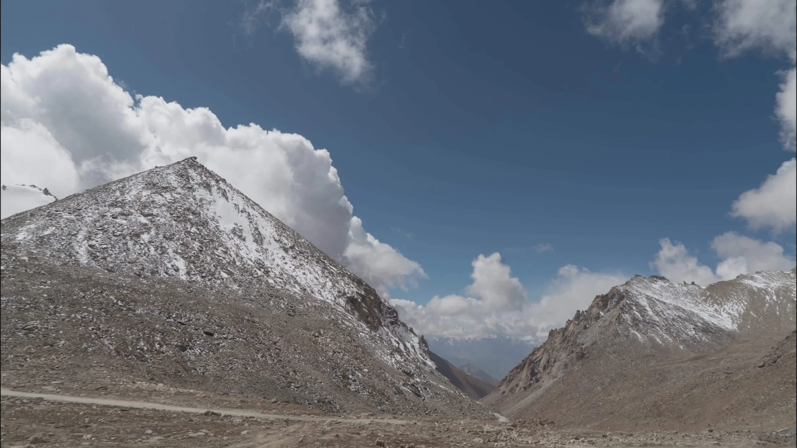
Famous for its extreme altitude, icy winds, snow-covered surroundings, and thrilling road journey, Chang La attracts bikers, road-trippers, photographers, and adventure seekers from around the globe. It also holds strategic importance due to its proximity to the India–China border.
The best time to visit Chang La is between May and September when the roads are relatively accessible and weather conditions are manageable. However, even in summer, the pass can experience sudden snowfall and freezing temperatures.

- Temperature
- Rain Chance
- Wind
Quick Facts
| Category | Details |
|---|---|
| Elevation | ~5,360 m (17,590 ft) |
| District | Leh |
| Region | Ladakh, India |
| Coordinates | 34.0356° N, 78.2356° E |
| Road/Location | Leh – Pangong Tso Road |
| Managed By | Border Roads Organisation (BRO) |
| Best Season | May to September |
| Road Status | Open seasonally (weather-dependent) |
| Temperature | -20°C to 15°C (varies widely) |
| AMS Risk | Very High |
| Mobile Network | Limited/Intermittent (mostly BSNL/MTNL) |
| Fuel Availability | Nearest in Leh |
| Nearest ATM | Leh (approx. 75 km) |
| Nearest Hospital | SNM Hospital, Leh |
| Entry Permit | Required for Indian & Foreign tourists (Inner Line Permit) |
| Difficulty Level | High (due to altitude) |
| Ideal Vehicle | 4×4 SUV / Adventure Bike |
Location
Chang La Pass lies on the route connecting Leh to Pangong Lake via Durbuk. It is surrounded by rugged Himalayan terrain, glaciers, and barren high-altitude landscapes.
Nearby Villages
- Tangtse
- Durbuk
- Sakti
Nearby Attractions
- Pangong Tso Lake
- Tangtse Monastery
- Shyok River Valley
- Durbuk Sand Dunes
Geographic Significance
Chang La sits on the Changthang plateau region of Ladakh, known for its cold desert ecosystem, high-altitude wildlife, and strategic military presence.
Distance Table
| Destination | Distance | Travel Time |
|---|---|---|
| Leh | ~75 km | 2.5–3.5 hrs |
| Kargil | ~220 km | 6–7 hrs (via Leh route) |
| Nubra Valley | ~160 km | 5–6 hrs |
| Pangong Lake | ~50 km | 2–3 hrs |
| Hanle | ~180 km | 6–7 hrs |
| Manali | ~470 km | 12–14 hrs (multi-day) |
| Srinagar | ~430 km | 10–12 hrs |
History
The name “Chang La” translates to “Pass towards Changthang,” referring to the Changthang region of eastern Ladakh. Historically, this route was part of ancient trade and nomadic migration paths used by Changpa herders.
The pass has also gained modern strategic importance due to its proximity to sensitive border areas. The Indian Army maintains a strong presence in the region, and the Border Roads Organisation ensures year-round maintenance efforts.
Geography
Chang La is part of the Greater Himalayas and lies in a cold desert ecosystem.
Key Features
- Snow-covered peaks throughout much of the year
- Rocky, barren terrain with minimal vegetation
- Glacial meltwater streams feeding valleys
- High-altitude tundra ecosystem
Natural Landscape
The terrain is extremely rugged, with steep climbs, sharp bends, and dramatic drop-offs. The oxygen level is significantly lower, making the environment physically demanding.
Flora and Fauna
- Sparse alpine grass
- Wild kiang (Tibetan wild ass) in nearby regions
- Himalayan marmots
- Occasional migratory birds
Climate
Month-Wise Weather Table
| Month | Temperature | Weather | Tourist Flow | Recommendation |
|---|---|---|---|---|
| Jan | -30°C to -15°C | Heavy snow | None | Closed |
| Feb | -28°C to -12°C | Extreme cold | None | Closed |
| Mar | -20°C to -5°C | Snow | Very low | Not recommended |
| Apr | -10°C to 5°C | Melting snow | Low | Risky |
| May | -5°C to 10°C | Cold, windy | Moderate | Good start |
| Jun | 0°C to 12°C | Pleasant cold | High | Best time |
| Jul | 2°C to 15°C | Rain/snow mix | High | Ideal |
| Aug | 2°C to 15°C | Stable weather | High | Ideal |
| Sep | -2°C to 10°C | Cooling down | Moderate | Good |
| Oct | -10°C to 0°C | Snow begins | Low | Risky |
| Nov | -20°C | Heavy snow | None | Closed |
| Dec | -25°C | Extreme cold | None | Closed |
How to Reach
From Leh
- Distance: ~75 km
- Time: 2.5–3.5 hours
- Route: Leh → Karu → Sakti → Chang La
- Fuel Stops: Leh only
- Food Stops: Small dhabas at Sakti and en route
Road Quality
- Mostly paved but steep and narrow
- Frequent landslide-prone sections
- Snow possible even in summer
Public Transport
Limited shared taxis from Leh to Pangong route may pass via Chang La.
Nearest Airport
Kushok Bakula Rimpochee Airport, Leh (~70 km)
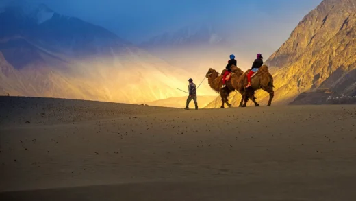
Top Experiences
- Riding a motorcycle through high-altitude roads
- Capturing panoramic Himalayan landscapes
- Experiencing snow even in summer
- Visiting army-run tea stalls at the pass
- Stargazing in clear night skies near Pangong route
- Wildlife spotting in Changthang region
- Road-trip photography at dramatic bends
Nearby Attractions
| Attraction | Distance | Travel Time | Highlights |
|---|---|---|---|
| Pangong Tso | 50 km | 2–3 hrs | Blue high-altitude lake |
| Tangtse Village | 30 km | 1 hr | Cultural stop |
| Durbuk | 35 km | 1–1.5 hrs | Valley views |
| Shyok River | 40 km | 1.5 hrs | Scenic river valley |
| Sakti Monastery | 20 km | 45 min | Spiritual site |
Accommodation & Food
There are no permanent accommodations at Chang La itself. Options are available in nearby regions:
Stay Options
- Hotels in Leh
- Homestays in Tangtse
- Camps near Pangong Lake
Food Options
- Army-run cafeteria at pass (tea, maggi)
- Small roadside dhabas
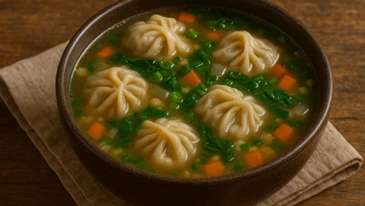
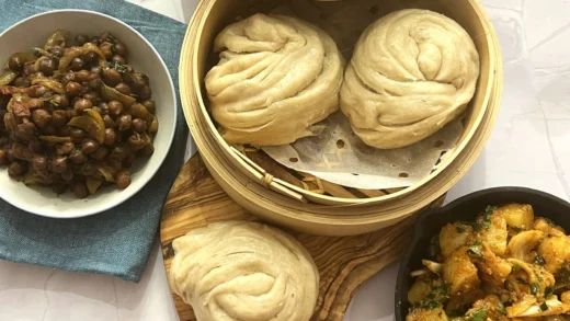
- Ladakhi staples in villages: thukpa, momos, butter tea
Essential Travel Information
- Fuel: Only available in Leh
- Mobile Network: Weak or unavailable
- Permits: Inner Line Permit required
- Medical: No facilities at pass; Leh is nearest
- Drones: Restricted in sensitive border areas
- Photography: Allowed but avoid restricted zones
Safety Guide
- High risk of Acute Mountain Sickness (AMS)
- Acclimatize in Leh before visiting
- Avoid rapid ascent
- Carry oxygen cylinders if needed
- Drive slowly due to steep curves
- Check weather updates before travel
- Avoid night travel
- Be cautious of black ice
Packing Checklist
Documents
- ID proof
- Inner Line Permit
Clothing
- Thermal wear
- Windproof jacket
- Gloves, woolen cap
Essentials
- Sunglasses (UV protection)
- Sunscreen SPF 50+
- Water bottles
- Snacks
Medicines
- AMS medication
- Pain relievers
- Motion sickness tablets
Suggested Itinerary
One-Day Itinerary
- Early morning departure from Leh
- Stop at Sakti for tea
- Reach Chang La Pass
- Continue to Pangong Lake
- Return or overnight stay at Pangong
Two-Day Itinerary
Day 1: Leh → Chang La → Pangong Lake (overnight stay)
Day 2: Explore Pangong → return via same route
Budget Guide
| Category | Backpacker | Mid-range | Luxury |
|---|---|---|---|
| Accommodation | ₹800–1500 | ₹2000–5000 | ₹6000+ |
| Transport | ₹1500–3000 | ₹5000–10000 | ₹15000+ (private SUV) |
| Food | ₹300–800 | ₹1000–2000 | ₹3000+ |
| Sightseeing | Minimal | Moderate | Private tours |
Responsible Tourism
- Do not litter high-altitude zones
- Carry reusable bottles
- Respect military restrictions
- Avoid disturbing wildlife
- Support local homestays
- Minimize plastic usage
- Respect Ladakhi culture
Travel Tips
- Acclimatize in Leh for 1–2 days
- Start early in the morning
- Avoid alcohol before travel
- Keep buffer time for weather delays
- Carry cash (no ATMs en route)
- Refuel in Leh before departure
- Check road status with locals
- Wear layered clothing
- Drive in low gear on steep sections
- Stay hydrated throughout the journey
Frequently Asked Questions
1. Is Chang La open throughout the year?
No, it is open only from May to October depending on snowfall.
2. How high is Chang La Pass?
It is approximately 5,360 meters above sea level.
3. Is it safe to travel to Chang La?
Yes, but only after proper acclimatization due to high AMS risk.
4. Do I need a permit?
Yes, Inner Line Permit is required for all tourists.
5. Can beginners ride bikes here?
Not recommended due to steep and icy conditions.
6. Is there mobile network?
Very limited; mostly BSNL works intermittently.
7. Are there hotels at Chang La?
No, only small tea stalls exist.
8. What is the best time to visit?
June to September is ideal.
9. How far is Pangong Lake from Chang La?
Around 50 km.
10. Can families visit Chang La?
Yes, but only with proper preparation and acclimatization.
Conclusion
Chang La is more than just a mountain pass—it is an unforgettable high-altitude adventure that showcases the raw beauty and harshness of Ladakh. From breathtaking Himalayan views to thrilling road journeys, it offers a once-in-a-lifetime experience for travelers. Whether you’re a biker, photographer, or nature lover, Chang La deserves a place in your Ladakh itinerary.